Explore our marked and adapted hiking trails for all levels
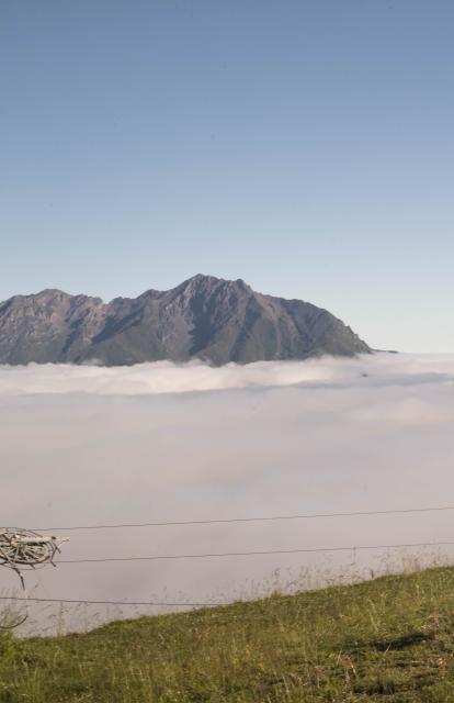
For a long time unexplored, the Louron mountains have revealed all their secrets over time. The most trained have a lot to do to reach the ridges, climb the peaks among the highest in the chain and discover glacial lakes. Reward efforts… the 360° view of the Pyrenees.
How to Use Our Interactive Sheets :
- Choose the route that suits you from the 23 available trails.
- Display the map by clicking on the chosen route; use the zoom
 and
and  then navigate with your mouse.
 - To return to the thumbnails, you can go back using the

Hiking map and topo guide
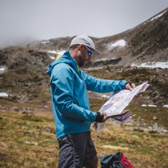
The Tourist Office sells a map which presents all the marked hiking trails (€1). They are classified by level according to their difficulty (green, orange, blue, red and black) as for the ski slopes. These itineraries are detailed in the FFRP topo guide “Loudenvielle and the Louron Valley… on foot” also on sale at the Tourist Office (€10.50).
PLEASE NOTE: Lake Bordères (or Bareilles) has been classified as a Regional Nature Reserve since 2020 and is subject to special regulations.

Map and topo hiking guide
The Tourist Office sells a map that presents all marked hiking trails (1€). They are classified by level according to their difficulty (green, blue, red and black) as for the ski slopes. These routes are detailed on the FFRP guide "Loudenvielle et la Vallée du Louron… à pied" on sale at the Tourist Office (€10.50).
Louron Bike and Trail
Marked hiking trails are listed on the free Louron Bike and Trail app. You can download it on your phone, it is convenient because you will find the traces on IGN card with the possibility to geolocate you. It is free and you will also find all marked trails of mountain biking, trail, ...

